- Home
- Government
- Departments L-V
- Office of Sustainability
- Climate Protection
- Urban Heat Island Mapping Campaign
Urban Heat Island Mapping Campaign
Charlottesville participated in the 2021 NIHHIS-CAPA Urban Heat Island Mapping Campaign, a nationwide citizen-science based effort to collect local data on temperatures and humidity levels across the city. How urban environments and neighborhoods are built affects the amount of heat absorbed and retained, which can increase or reduce the impact of extreme heat events. Increases in extreme heat are one of the top projected impacts Charlottesville will experience from climate change.
- Learn more about Charlottesville's projected climate hazards through the Climate Vulnerability Assessment.
- Learn more about Urban Heat Islands.
- Check out our Heat Mitigation & Adaptation Guidebook
 2021 Data Collection Campaign Results
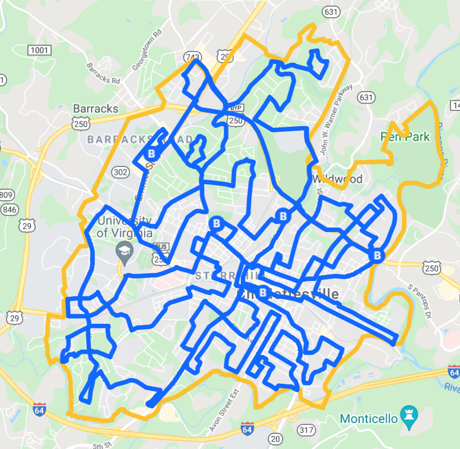
Due to a favorably-timed heat wave and availability of ~30 volunteers (data collectors plus backups), Charlottesville's 2021 data collection was successfully completed on August 24, 2021.
Campaign Results
The collected data has been processed by CAPA Strategies and is now available via the linked files below. The GIS-based data files are available on the City's Open Data Portal.
- 2021 Heat Watch Campaign Report (PDF)
- 2021 Heat Watch Campaign Data Files and Report (compressed ZIP file)
- 2021 Heat Watch Campaign Report Maps - poster sized (PDF)
- NIHHIS equity mapping tool, using the 2021 Heat Watch Campaign Data (Select Charlottesville in the top-right of the tool window to see summaries by census tract)
In conjunction with the mapping campaign, we worked with CAPA Strategies to develop a Heat Mitigation and Adaptation Guidebook. This guide is intended to be a resource for anyone who has an interest in learning how to manage and mitigate increasing urban heat. It includes background information, case studies, and both community- and household-scale strategies to keep cool in Charlottesville as temperatures warm.
Project Aims
This mapping project aims to:
- Provide insight into heat vulnerabilities in the city and how they impact the urban environment. Learn more about urban heat islands and heat vulnerabilities.
- Recognize any correlation between land type and temperature using GIS. For example, natural landscapes retain less heat than concrete and asphalt, hence resulting in higher temperatures in urban than rural areas.
- Gain a general understanding of how temperature varies in the area and identify heat clusterings. Identification of hotspots can inform actions by the community to reduce the harm at those places and target more resources there (ex. trees planting, new energy buildings).
- Quantify the impact that extreme heat has on the region and local climate.
- Inform broader implications on public health, environmental protection, and socioeconomic factors.
- Engage community members in knowing and protecting regional ecosystems.